Our goal: The summit of “Le Grand Colombier”!
“Hiking is an outdoor activity carried out on foot along a marked or unmarked route.”
For me, it has to be marked because I have a terrible sense of orientation!
In France, it’s super easy to go hiking. You can find tracks everywhere, well maintained and free of charge. In many other countries I have crossed during my travels, the only accessible trails are those in national parks for which one needs to pay the entrance. It’s less accessible, and to me, hiking must be free and open to anybody.
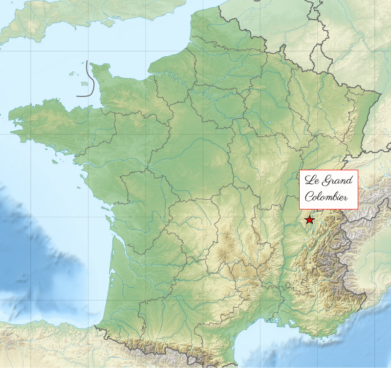
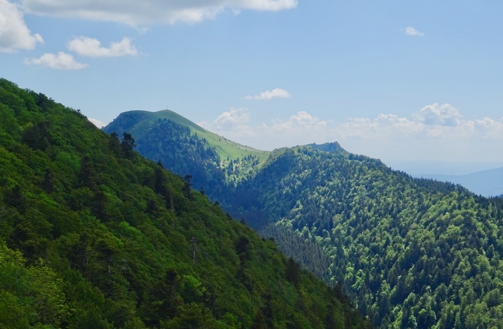
The “Grand Colombier” is a summit located at the southern end of the Jura mountains. It is in the Ain department in the Auvergne-Rhône-Alpes region.
It peaks at 1515m altitude.
There are different options for ascending it, more or less complicated. We chose the scenic walk, “The Cross of the Grand Colombier by the ridges,” which offers a breathtaking view of the surroundings while remaining relatively easy.
The walking time is about 4 hours a loop of 12 km and 400m of elevation gain. There is no problematic passage. 😁
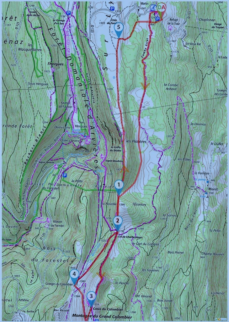
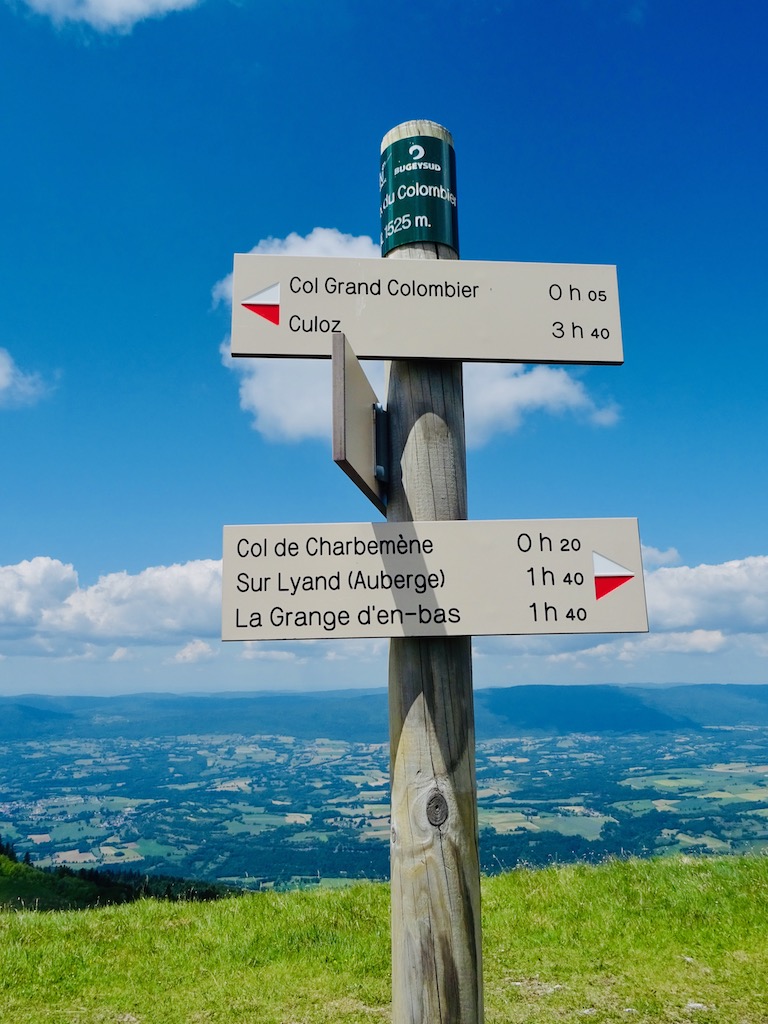
The starting point of the Grand Colombier
The start is from Sur-Lyand, a small Nordic ski resort. There is a car park at the entrance of the resort.
The trail departure is behind the restaurant. One can reach it by going around the building from the right.
At the first intersection, take a southerly left, and keep that course throughout the hike. 😊
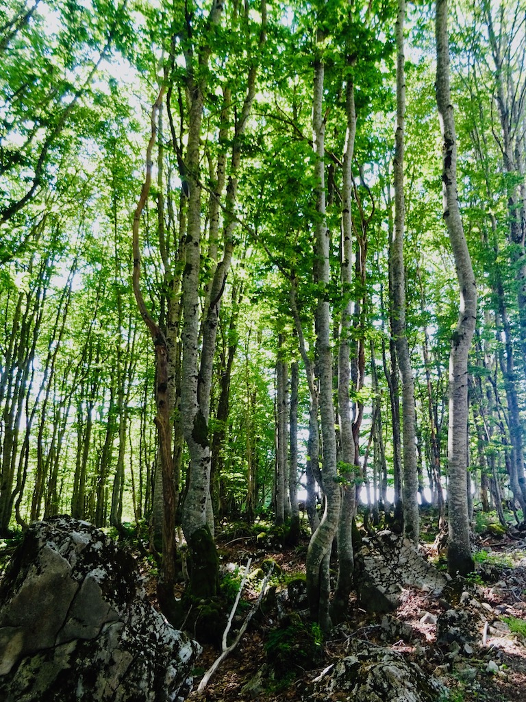
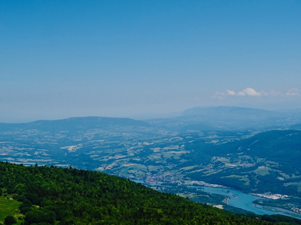
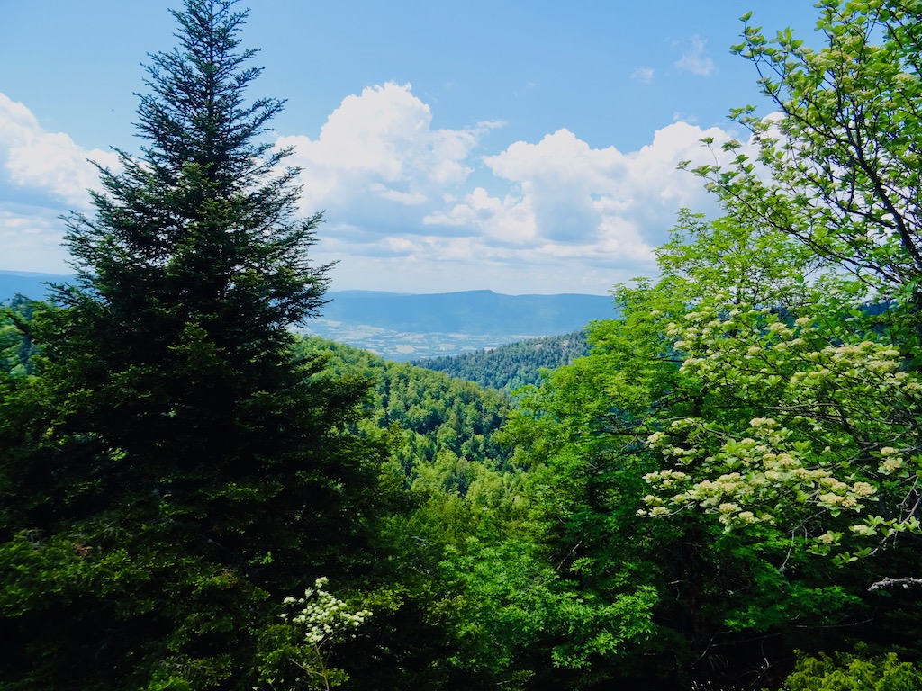
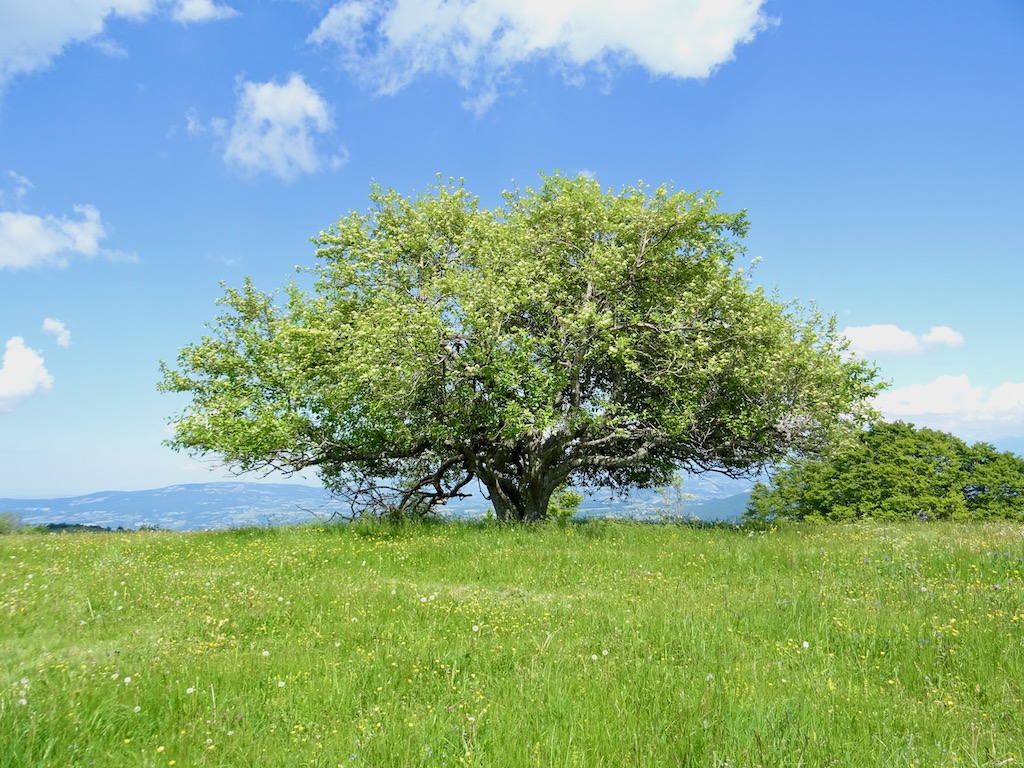
After a small part in the forest, we reached the plateau and ascended quietly through the Combe Giret.
After a small part in the forest, we reached the plateau and ascended quietly through the Combe Giret.
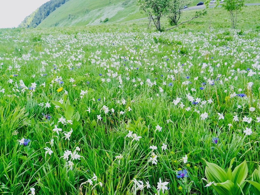
It was a pleasant walk. The nature was green, the sun was shining, and cows were grazing quietly in pastures.
It was a moment of pure happiness. 🤩
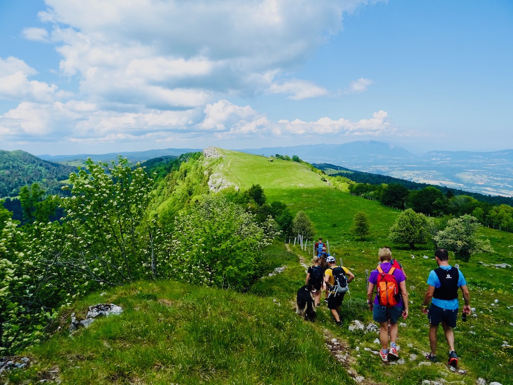
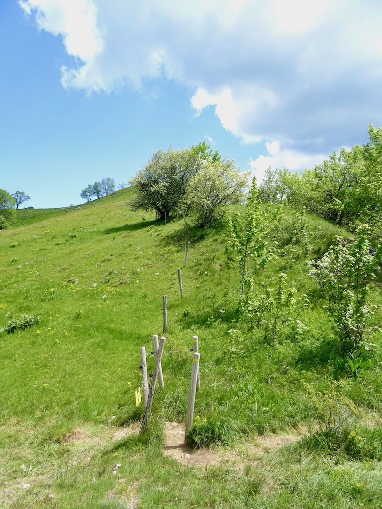
But let’s not getting lost. Just before arriving at the Platières, keep well on course. The main trail we’ve been following so far descends on our left, and even if we were tempted to take it, we had to stay on the plateau and took a grass path to the right.
Well, of course, we took the wrong path, and as we started to go down a little too much, we turned back to begin again in the right direction!
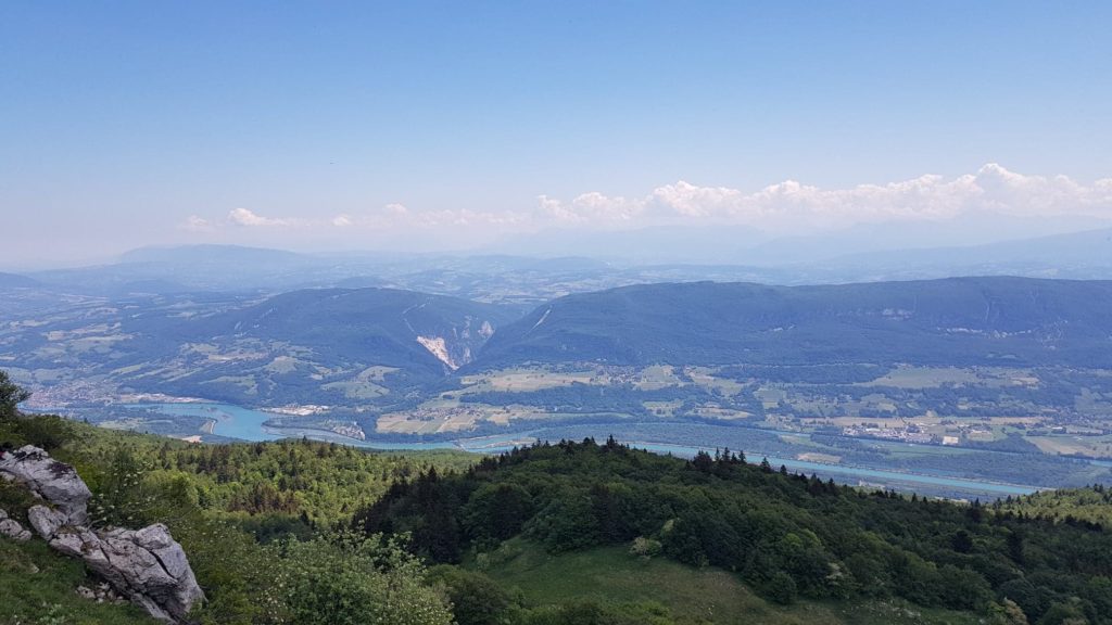
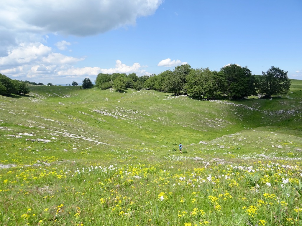
And the walk continued to the Col de Charbemène, which we passed to arrive at the Grand Colombier Cross.
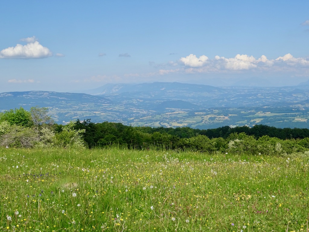
The views are superb, and you really have to take your time and savor it.
The arrival at the cross of the Grand Colombier
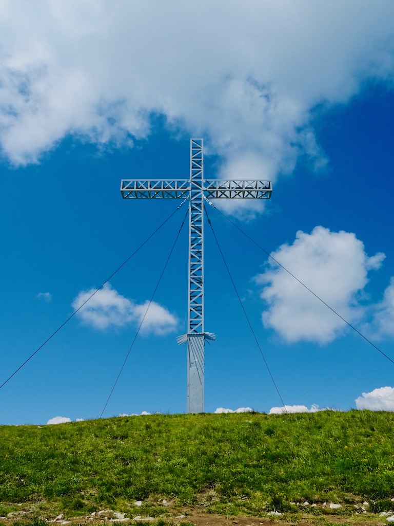
The chaotic history of this cross
- September 1891: The first wooden cross was inaugurated. It was the pride of the inhabitants of Valromey and became a place of excursion and gathering.
- January 1914: The cross was destroyed, a victim of vandalism. It was only after the war that public fundraising was launched to construct a 16-meter-high metal cross.
- May 1920: The construction began. It took six trips to transport all the material to the top of the Grand Colombier.
- September 1920: The new cross was blessed.
- 1923: Victim of a storm, it collapsed again. It was then repaired and put back on its pedestal.
- December 1966: A violent snowstorm destroyed it. The municipality then set out to find funding for reconstruction, and it was the tire manufacturer “Firestone” that would respond positively.
- August 1968: Finally, a new five-ton cross secured sits atop the Grand Colombier.
It is also the center of a police plot in the crime novel “The Blue Peril“, written in 1920 by Maurice Renard. 😃
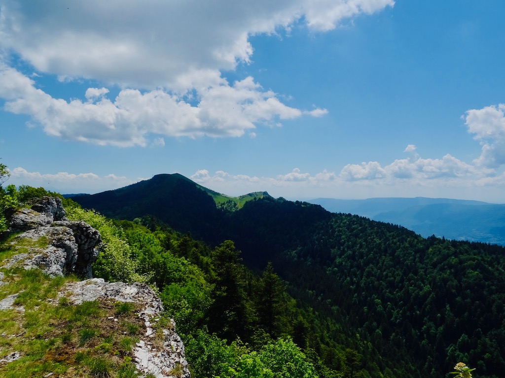
It was time for a well-deserved picnic break in front of the magnificent view of the Jura on one side and the Alps on the other. On clear weather, one can even see the Mont-Blanc. 😁
The return
We reached the D 120 road about a hundred meters from the cross and turned right towards the Granges du Colombier.
We then have to head northeast towards the Col de Charbemène, and then north.
Anyway, there is only one path, straightforward to follow.
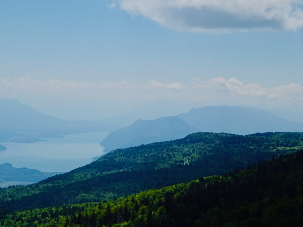
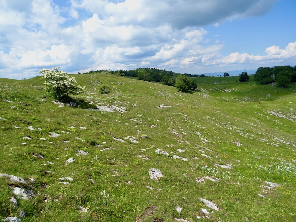
And it’s again great views and a gentle descent.
The hike in pictures
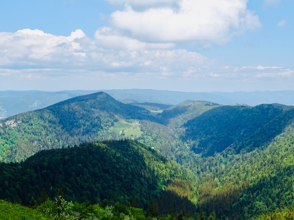
We walked the ridge path to the Devil’s Claw and then crossed the pastures slightly to our right to head for the Famban Cross. But before reaching the cross, turn right toward Sur-Lyand.
We were back. We stopped at the bar to enjoy a fresh and well-deserved beer, a well-deserved treat to end our expedition.
Conclusion
It was a fantastic hike, which offers breathtaking views. A 360-degree panorama, with on one side the high and steep mountains of the Alps and the Jura’s round and gentle mountains. A must-do if you’re around. 😃
If you don’t have too much time to hike, you can drive to the Col du Colombier. The parking lot is next to the cross. This route is very famous in the cycling world because it is well-known for its difficulty and has been a stage of several tours of France.

I’m just about to go out on my morning hike. Wish my views this morning would be as spectacular as the views you share from your hike.
I must admit that I’m lucky to have those beautiful views. I will never get tired of it.
A really beautiful excursion. Great views. Like yourselves our hikes are all free. Something so wonderful and natural shouldn’t be charged for.
I agree. Everybody should be able to hike and enjoy nature for free. A simple pleasure that made you feel good!
Such beautiful views and countryside. I love your photos. This post makes me long to visit France again 🙂
Thank you. And you will see, there’s so much more to do 😃